 Polish Polar DataBase
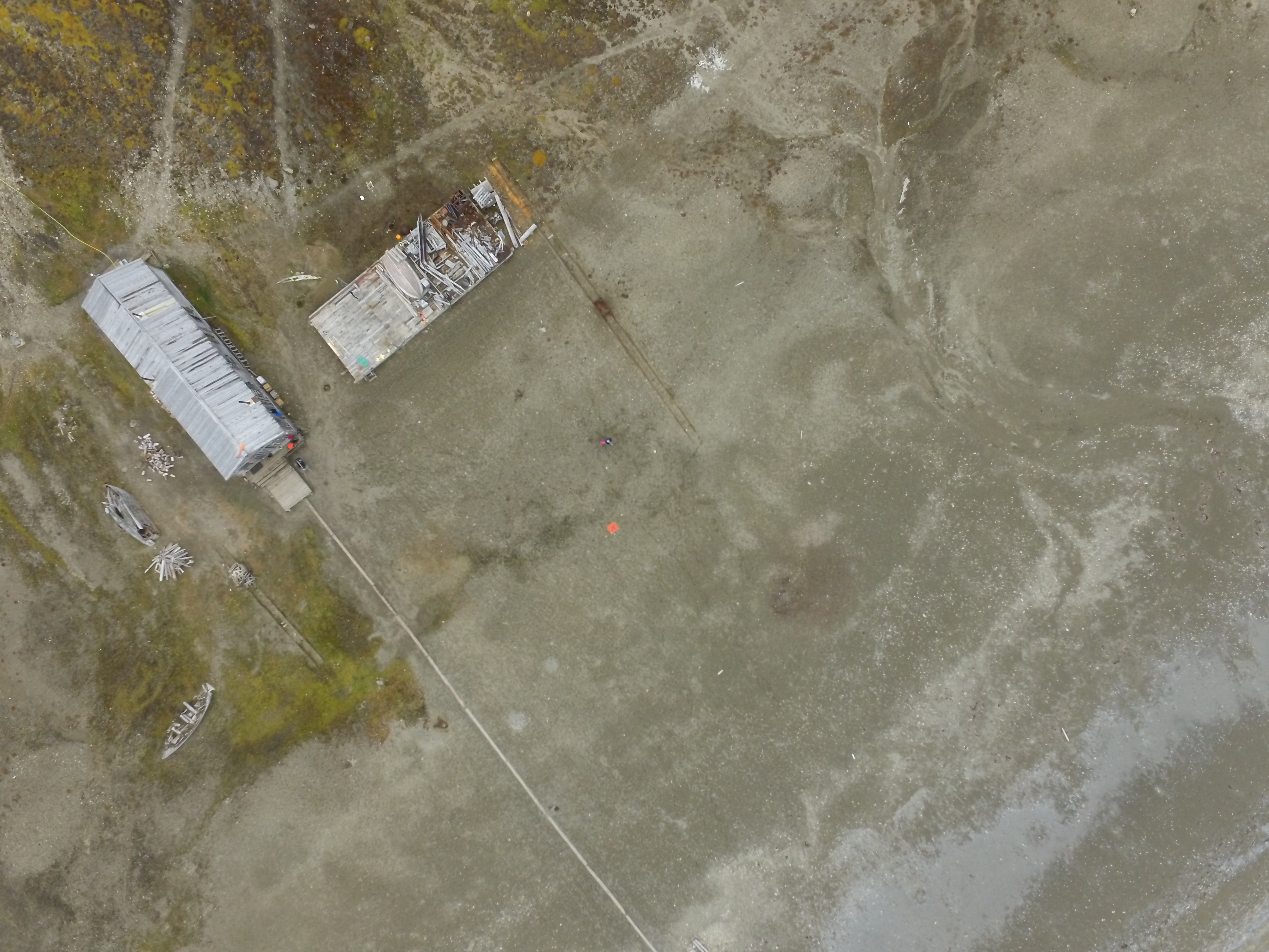
UAV aerial photos - Svalbard 2016
1. Dataset of UAV vertical aerial photos of Calypsobyen obtained from height of: 100m (58 photos), 60m (45 photos) and 30m (59 photos). Used UAV: Phantom 3 Advanced, date of acqusition: 16 Aug 2016.
2. Dataset of UAV vertical aerial photos of Paierlbreen east morain/dead ice obtained from height of 50m (152 photos). Area covered: ~250x~130m (with gaps).Used UAV: Phantom 3 Advanced, date of acqusition: 22 Aug 2016.
3. Dataset of UAV vertical aerial photos of Storbreen, close to Komsa (52 photos). Area covered: ~350x~230m. Used UAV: Phantom 3 Advanced, date of acqusition: 21 Aug 2016.
4. Dataset of UAV vertical aerial photos of Werenskoildbreen's south moraine (300 photos). Area covered: ~200x~350m and ~250x~250m. Used UAV: Phantom 3 Advanced, date of acqusition: 7 Sep 2016.
Simple
- Date (Publication)
- 2020-12
- Purpose
- scientific and didactic
- Status
- Completed
- Maintenance and update frequency
- Unknown
- Theme
-
- UAV, aerial photos
- Place
-
- Werenskoildbreen, Storbreen, Paierlbreen, Calypsobyen, Spitsbergen, Svalbard
- Access constraints
- Intellectual property rights
- Use constraints
- Intellectual property rights
- Metadata language
- eng
- Character set
- UTF8
- Topic category
-
- Imagery base maps earth cover
- Begin date
- 2016-08-16
- End date
- 2016-09-07
))
- Reference system identifier
- WGS 1984
- OnLine resource
-
Extended human readable information about the dataset
(
WWW:LINK-1.0-http--link
)
Extended human readable information about the dataset
- Hierarchy level
- Dataset
- File identifier
- d1980f3a-fd8e-4cb7-b1d4-65638e1848dd XML
- Metadata language
- English
- Character set
- UTF8
- Date stamp
- 2020-12-09T11:47:15
- Metadata standard name
- ISO 19115:2003/19139
- Metadata standard version
- 1.0
Overviews
Spatial extent
Provided by
